Driving the Million Dollar Highway
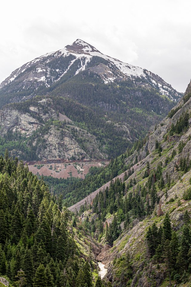
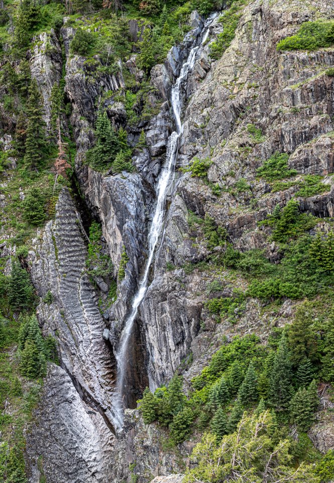
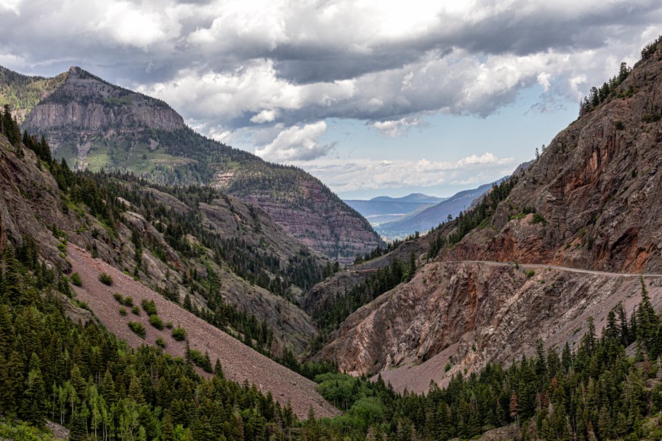
The infamous Million Dollar Highway is HWY 550 driving between Ouray, Colorado and Silverton, Colorado. This is not only one of the most beautiful roads within the United States, but also one of the most dangerous. It is part of the San Juan Skyway Colorado Scenic Byway as it traverses the Uncompahgre Gorge in the San Juan Mountains.

Why is it called the Million Dollar Highway?

It was built back in the late 1880s and was initially a toll road until the 1920s when it was rebuilt. There are many theories as to why it is called the Million Dollar Highway. Some say it is because a traveler insisted he would never go that way again, even if paid a million dollars. Another theory is that it cost a million dollars to build the road. This area was also known for mines of silver and gold, and one of the theories is that the gravel used to build this road from nearby mines is worth a million dollars. The most accepted theory is that during a planning meeting in 1921, a comment was made that all of the contracts to build added up to almost a million dollars. They then began to refer to it as the Million Dollar Highway.
How long does it take to drive the Million Dollar Highway?
Although it is only 25 miles between the two cities, it takes about 45 minutes to travel between the two cities. This is driving straight thru with no stops. I recommend planning for a minimum of 2 hours as you will want to stop at all the viewpoints and keep an eye out for wildlife. We checked Ouray out in the morning, did the Million Dollar Highway and then had a late lunch in Silverton.
How dangerous is it to drive the Million Dollar Highway?

If you are driving south from Ouray to Silverton, you will be driving along the side without any guardrails. This is not for someone who is afraid of heights. We did the drive North to South and felt safe the entire time, but we also went during a sunny day and probably would have had a different opinion if bad weather. The drive South to North is typically considered safer as this is the side that borders the mountains. The negative of driving this direction is that a lot of the viewpoints are on the other side of the road. There are no guardrails due to the high amount of snow in this area and because the roads are so narrow if there were guardrails the snowplows would have no where to put the snow. If you are smart about driving and are in good weather, the risk of driving this is very low. However there are about 40 accidents a year and average of 7 fatalities a year mostly due to careless driving or driver error.
Is it open year round?
Yes, the road is open year round however it will close sometimes due to rock slides or treacherous weather. It’s best to look at the weather and road conditions before you go. During winter, I would not recommend unless you are very comfortable driving in snow with a car equipped with snow tires.
Other useful information
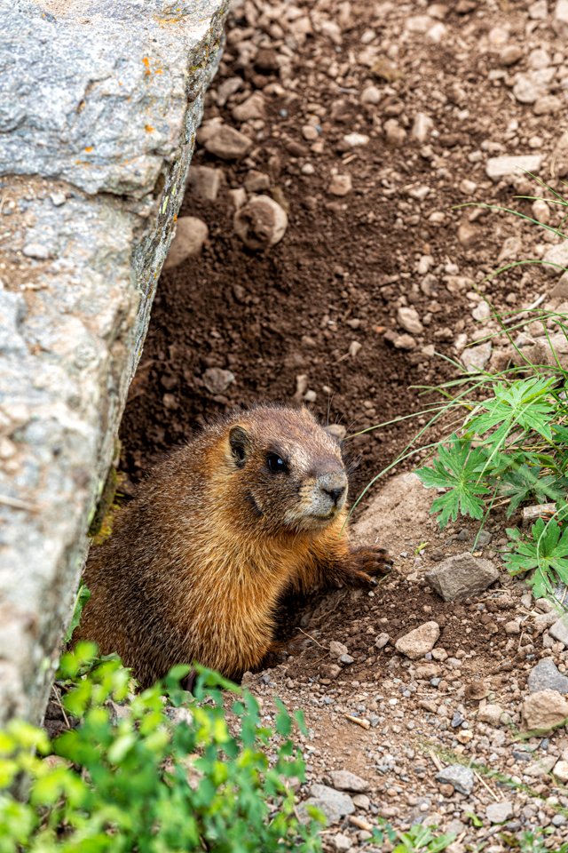
There is lots of wildlife in this area including black bears, elk, deer, and mountain goats so keep an eye out for them.
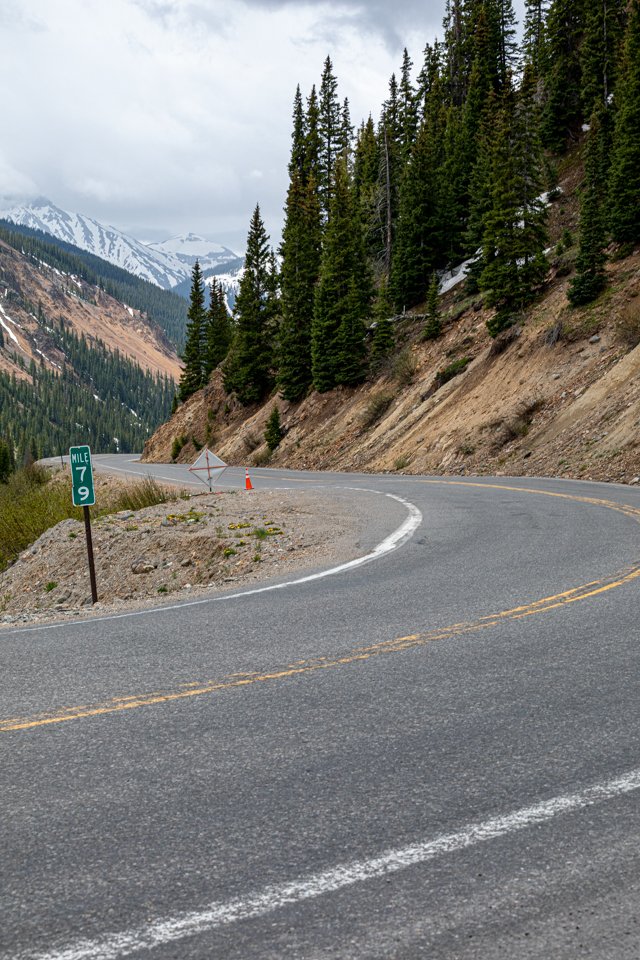
You will go over 3 mountain passes on this drive.
Red Mountain Pass - 11,017 ft elevation
Molas Pass - 10,910 ft elevation
Coal Bank Pass - 10,640 ft elevation
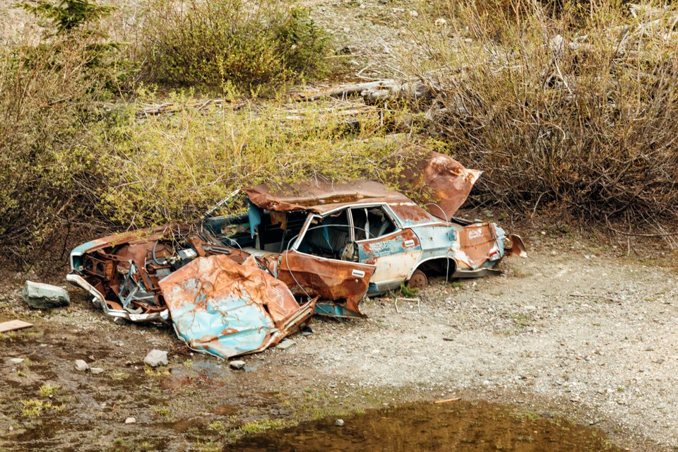
Make sure to check out the ghost towns and old mines along the way.
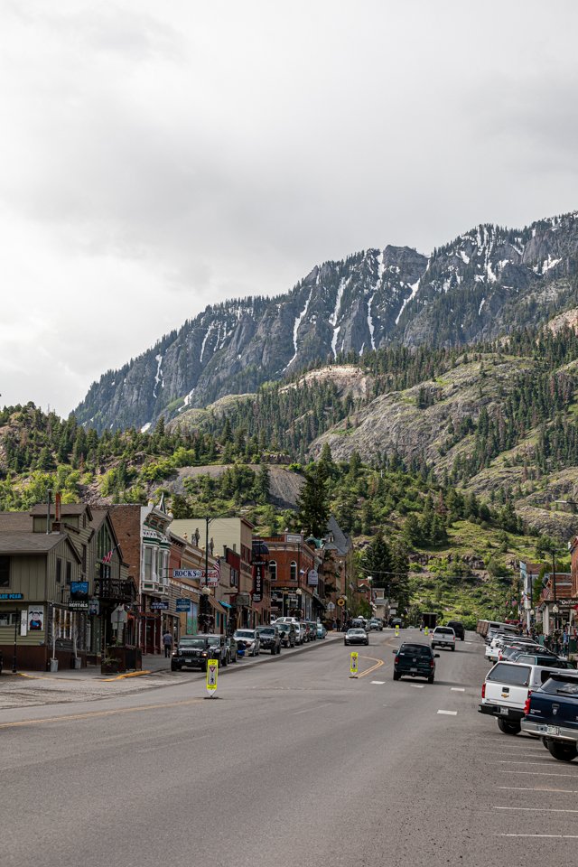
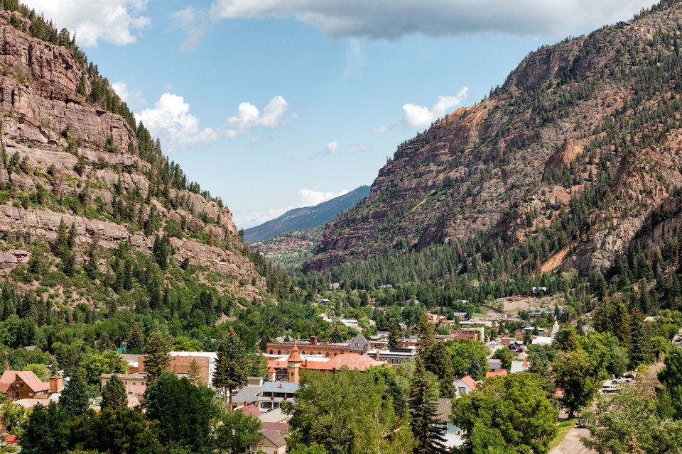
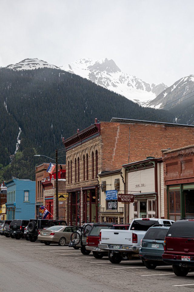
Ouray and Silverton the stop and end cities are both worth a visit.
Pin it for later!


